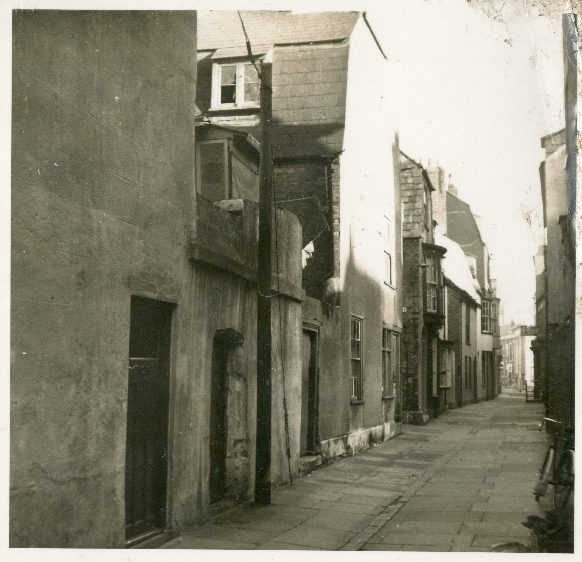
This interesting street once ran from Maiden Street eastwards to East Street, opposite its junction with Belle Vue. The photo looks east towards East Street.
Governors Lane was named after a nearby house known as the Governor’s House, dating from the time when Colonel Francis Sydenham served as the town’s Parliamentary Governor during the Civil War. The lane also marked the southern boundary of the Friary, founded in 1418 and dissolved in 1538, which occupied land bounded by Upper St Alban Street, East Street and Maiden Street.
Leading off the north side of Governors Lane were two lesser-known areas — Stewards Court and Devenish Square. In 1958–59 the north side of the lane was demolished after being declared unfit for human habitation. During the clearance, ancient walls — possibly remnants of the Friary — were discovered in cellars, along with an old doorway that was later demolished in 1960.
Following the demolition, lengthy council debates took place over how the cleared site should be used, with serious consideration given to creating a market space. In the end, none of the proposals came to fruition — and more than sixty years later, the site remains in use as a car park.